Spring in a Temblor Range Canyon
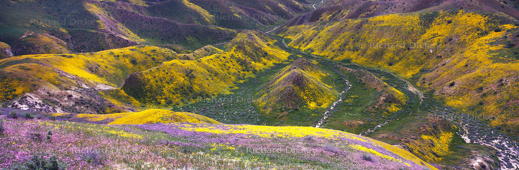
Made during the 2017 Carrizo Plain superbloom, this panorama looks across one of the many canyons cutting through the Temblor Range. Coreopsis, phacelia, hillside daisies and clarkia spread across the folded hillsides, ridges and gullies while the green canyon floor traces the natural drainage through the center of the landscape. Exiting the canyon near the upper center of the photograph, the water follows a network of channels downslope, eventually continuing across the Carrizo Plain toward Soda Lake. The repeated folds, changing colors and exposed channels reveal a landscape shaped continuously by water, erosion and movement.
The day had begun much differently on the Carrizo Plain. After car-camping nearby, a slight frost was visible on the vehicle that morning and the first panoramas were made beneath heavy cloud cover in soft, flat light. As the day progressed, the clouds disappeared and full sunlight returned. Later, I drove the narrow, rough dirt road into the upper Temblor Range and continued along the ridge, stopping repeatedly as different views opened across the steep terrain. From this high position, the canyon revealed an intricate pattern of folded hills, drainage channels and wildflower-covered slopes that had been largely hidden from the plain below.